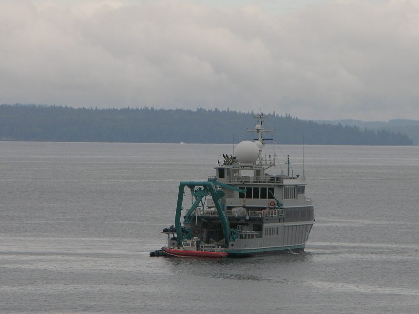
Here is a fact that survives every retelling because it should not be true: we have better maps of the Moon and Mars than of our own planet’s ocean floor. Barely a quarter of the seabed has been mapped at high resolution. The rest is sketched from satellite gravity measurements — a blurry relief in which a mountain range can hide. A global project, Seabed 2030, intends to finish the map within the decade, and the robot ships now doing the work are rewriting what we know about the planet’s largest landscape.
The stakes are not cartographic vanity. Undersea topography steers the currents that distribute heat around the planet, shapes tsunami forecasts, and decides where the cables carrying the internet can safely lie. When Malaysia Airlines flight MH370 vanished, searchers discovered mountain ranges in the Indian Ocean nobody knew existed — while looking for a plane. Our science desk regards the seabed map as infrastructure on the scale of the weather satellites: invisible until the day it is indispensable.
Robots Doing the Sailing
The economics of mapping are being transformed by autonomy. Traditional survey ships cost tens of thousands of dollars a day and map narrow ribbons with their sonar. Uncrewed surface vessels — some no bigger than a pickup truck, some crossing oceans — work for weeks at a fraction of the cost, streaming multibeam sonar data home by satellite. Crowdsourced depth soundings from ordinary ships, once discarded, are now harvested by the tonne into the global map coordinated with the Nippon Foundation‘s support.
Each survey season converts blur into landscape: thousands of seamounts newly charted, canyons larger than the Grand Canyon found off familiar coasts, and fresh detail in the trenches where the planet’s crust is consumed. Biologists care as much as geologists — seamounts are biodiversity hotspots, and you cannot protect, or responsibly mine, what you cannot locate.
A Map With Arguments Attached
The finished map will not be politically neutral. Seabed charts underpin maritime claims, deep-sea mining licences, cable routes and marine protected areas. Nations survey their claimed shelves with strategic enthusiasm, and the race to map overlaps the race to stake. Scientists in the programme argue for the map as a global commons — the argument that has so far kept the data open.
What the Map Has Already Found
The discoveries are not waiting for completion. Surveys have charted thousands of previously unknown seamounts, each a potential ecosystem and navigational hazard; traced the true paths of deep currents that climate models must reproduce to be trusted; located wrecks from wars and disasters that families had sought for generations; and found, under familiar shipping lanes, canyon systems that rewrite local tsunami risk. Seabed mapping has the reliable side effect of embarrassing the assumption that the Earth’s surface was a finished subject.
The map’s economic shadow is equally long. Every cable route, offshore wind farm and seabed mining claim begins with bathymetry; the nations and firms with the best surveys negotiate from knowledge the others are still renting. A complete public map levels some of that — one of the quiet arguments for funding it as a commons rather than leaving it to whoever can afford a survey fleet.
The mapmakers are candid that a chart is a beginning rather than an answer: resolution fine enough to find a lost container or route a cable is still far too coarse to census the life on a seamount. But you cannot protect, manage or even argue about a place you cannot picture — and for most of the ocean, the picture is only now coming into focus.
Within a few years, the blank spaces will be gone, replaced by the first complete portrait of the surface on which everything else rests. The Moon comparison will retire. What replaces it is a more interesting embarrassment: how much of the newly visible world we choose to protect, and how much we simply learn to exploit more efficiently. More at greennewsdesk.com.